Routes & Destinations
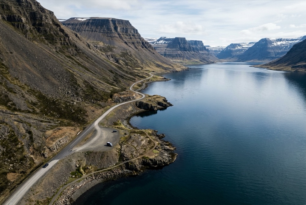
10 Scenic Drives to Take in Iceland
Discover the 10 most scenic self-drive routes in Iceland, from the Ring Road and Golden Circle to the Westfjords, Tröllaskagi, and Highland F-roads.
Read Complete Guide →Practical, locally informed articles covering Ring Road itineraries, 2WD vs. 4x4 rental advice, sustainable camping rules, Northern Lights photography, and scenic drives across Iceland.
Discover the 10 most scenic self-drive routes in Iceland, from the Ring Road and Golden Circle to the Westfjords, Tröllaskagi, and Highland F-roads.
Read Complete Guide →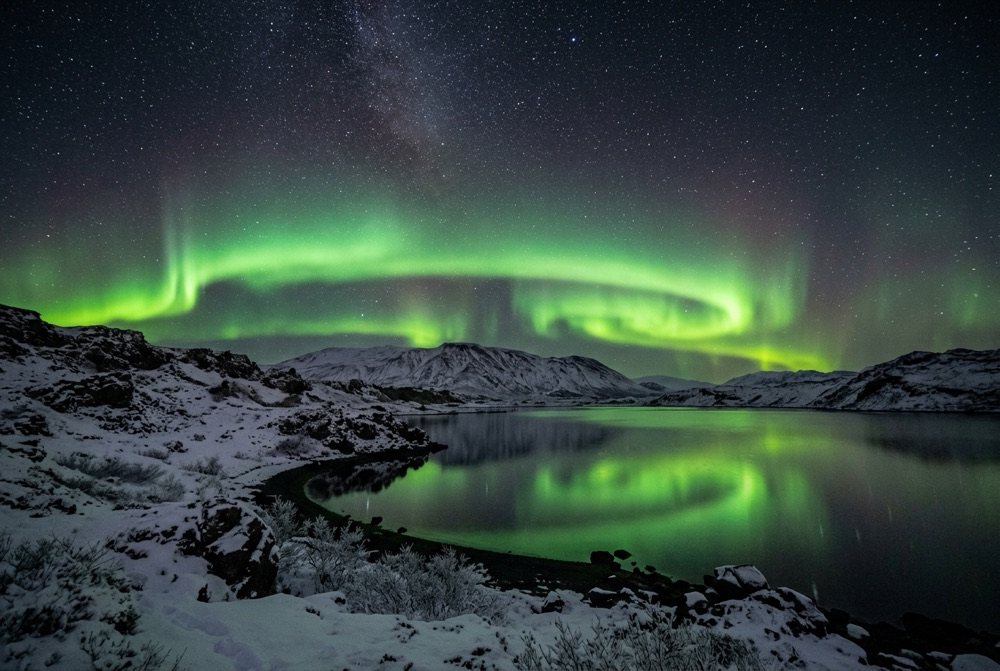
Planning a trip to Iceland between late August and mid-April to see the Aurora Borealis? Learn how to read cloud cover forecasts on vedur.is, choose dark-sky campsites, stay warm overnight, and photograph the Northern Lights.
Read Complete Guide →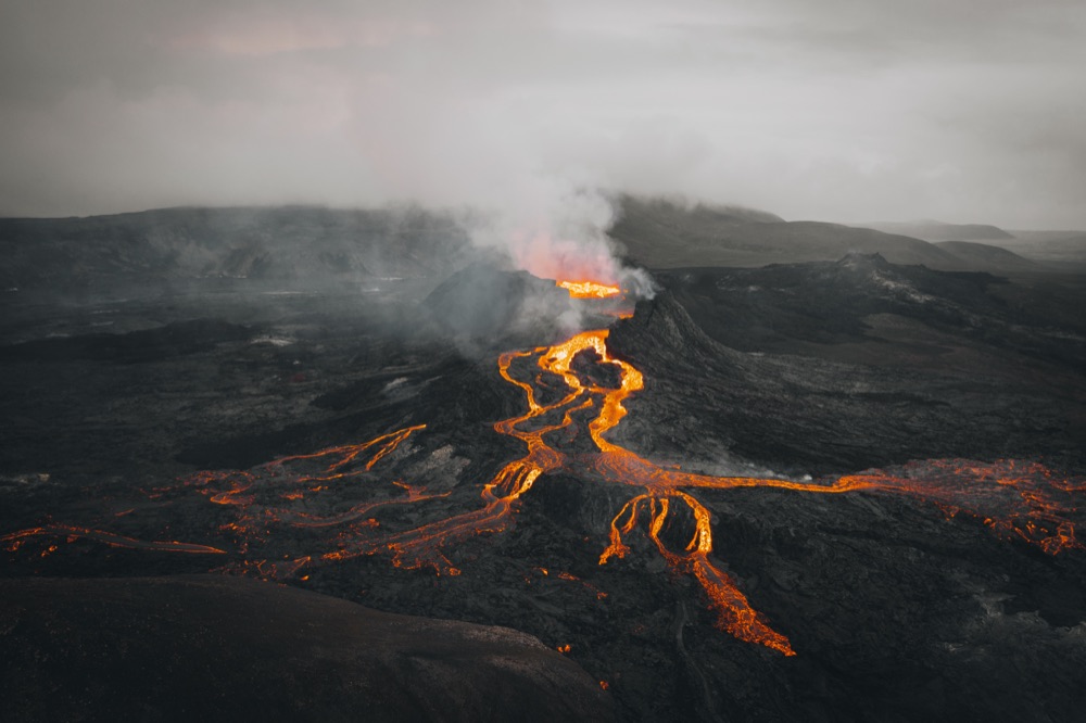
What travelers need to know about seismic activity on the Reykjanes Peninsula near Grindavík and the Blue Lagoon, and how to monitor official safety alerts.
Read Complete Guide →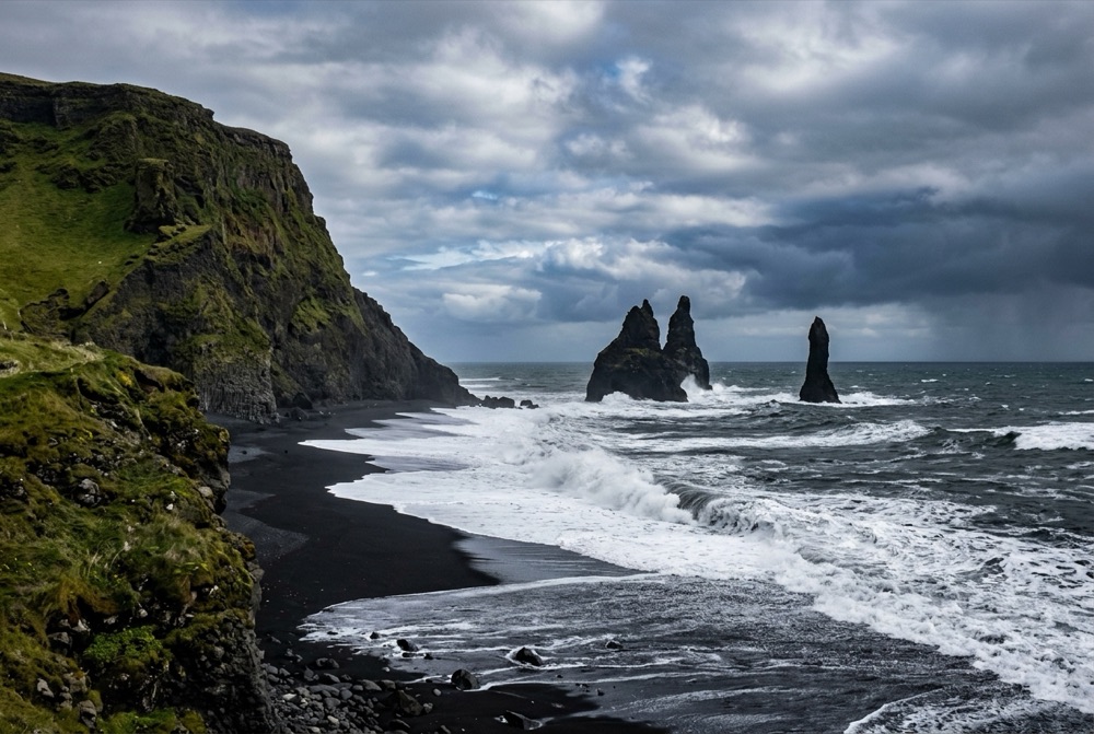
Plan an unforgettable 7-day campervan road trip in Iceland covering the Golden Circle, South Coast waterfalls, Vatnajökull glaciers, and Snæfellsnes or the Ring Road.
Read Complete Guide →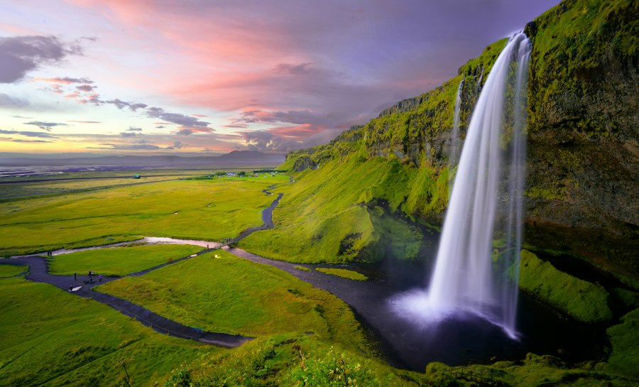
Discover why renting a self-drive car or 4x4 SUV in Iceland is the most flexible, cost-effective way to experience waterfalls, glaciers, and remote fjords.
Read Complete Guide →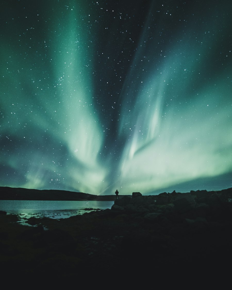
Complete guide to planning a campervan or tent-camping road trip in Iceland: choosing your vehicle, essential gear categories, campsite logistics, and route planning.
Read Complete Guide →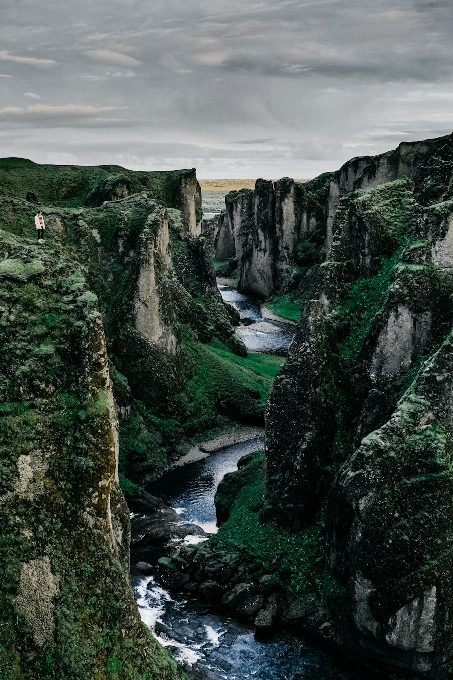
Should you fly to Iceland with your own tent and sleeping bags, rent gear locally, or book an all-in-one heated campervan? Compare luggage costs, weather ratings, and convenience.
Read Complete Guide →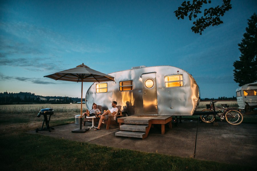
Planning a camping trip in Iceland? Learn the exact tent wind ratings, sleeping bag temperature limits, sleeping mat R-values, and cooking gear needed for Icelandic conditions.
Read Complete Guide →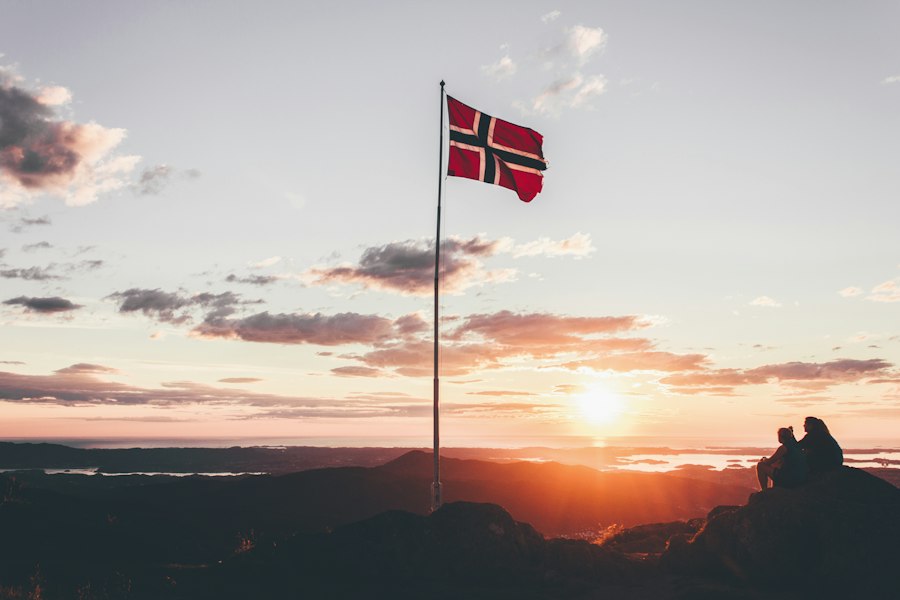
From volcanic craters and glacier lagoons to wind-tested camping advice and self-drive road trip itineraries, here is how to use Camp Iceland to plan your adventure.
Read Complete Guide →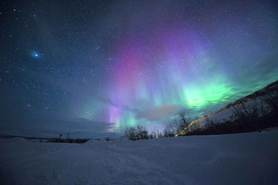
Discover the top advantages of campervan travel in Iceland—from chasing clear weather and saving on meals to waking up at scenic campsites—plus key rules to know before booking.
Read Complete Guide →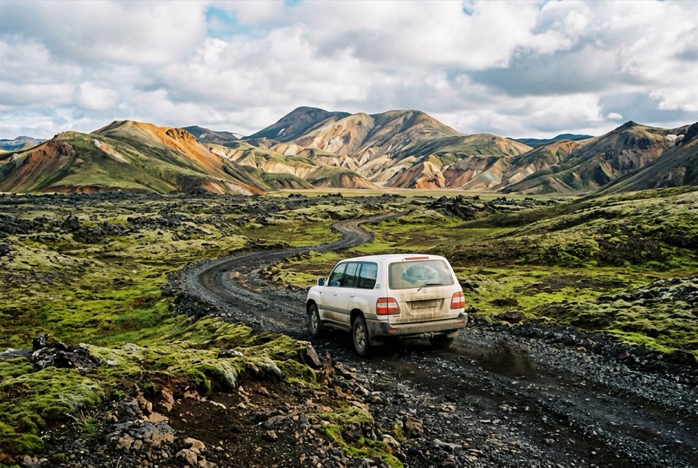
Learn how to save money on your Iceland car rental without getting caught by hidden insurance deductibles, fuel holds, or F-road fines.
Read Complete Guide →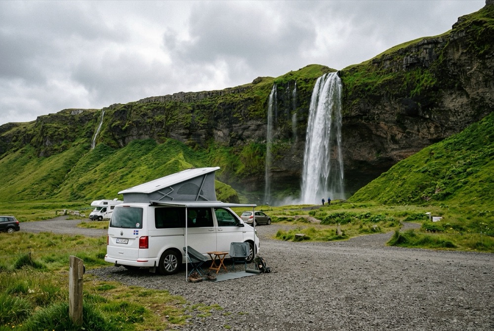
Planning a camping road trip in Iceland? Learn how campervan and car camping works, the best campsites by region, essential packing items, and how to choose the right vehicle.
Read Complete Guide →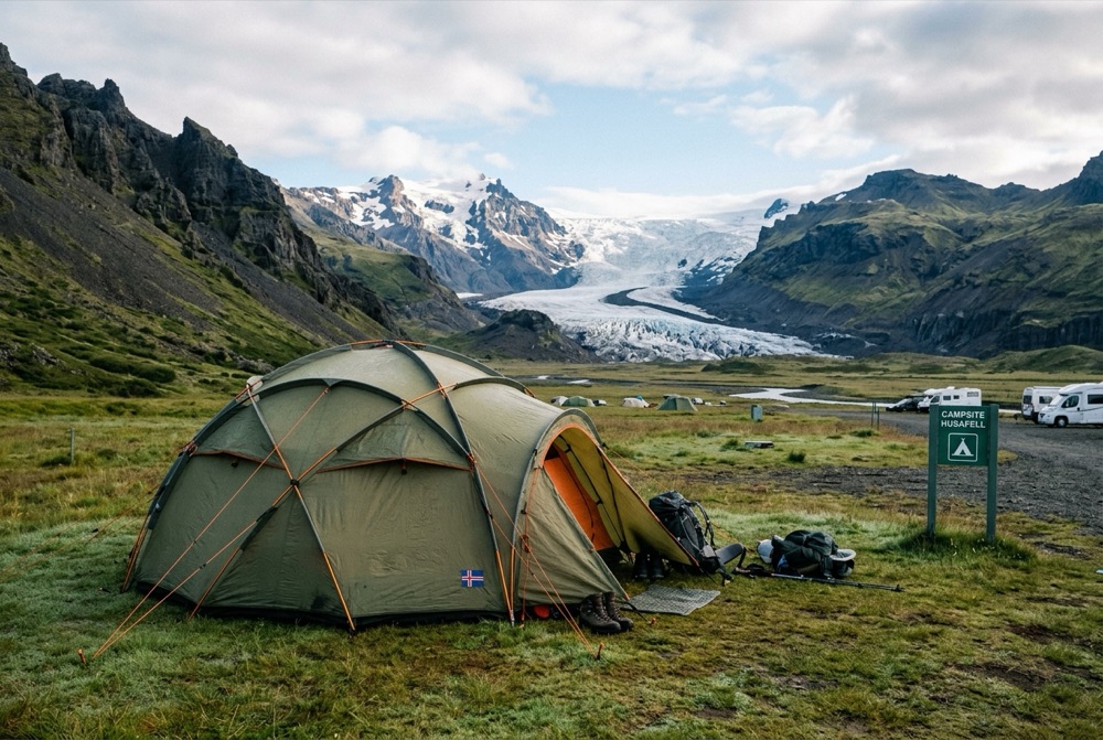
Learn how to protect Iceland's fragile volcanic moss, follow the 2015 Nature Conservation Act camping laws, manage waste on the road, and camp sustainably.
Read Complete Guide →Switch between our 16 Must-See Road Trip Stops and 20 Top Iceland Campsites below, or click any numbered pin on the map to view photos, GPS coordinates, and vehicle recommendations.
Click any pin to see destination photography, nearest overnight campsites, and road access requirements.
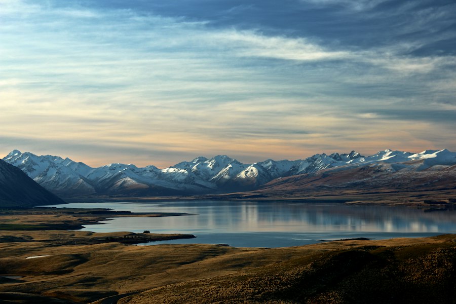
Walk between the North American and Eurasian tectonic plates where Iceland’s Alþingi parliament met in 930 AD. Allow 1.5–2 hours for the gorge walk and Öxarárfoss waterfall, or 3 hours if snorkeling Silfra.
#1 on Map
📍 Golden Circle • Day 1 · 64.26°N, 21.13°W
Walk between the North American and Eurasian tectonic plates where Iceland’s Alþingi parliament met in 930 AD. Allow 1.5–2 hours for the gorge walk and Öxarárfoss waterfall, or 3 hours if snorkeling Silfra.
#2 on Map
📍 Golden Circle • Day 1 · 64.33°N, 20.12°W
Watch Strokkur erupt boiling water 25 meters into the air every 6–10 minutes at Haukadalur, then drive 10 minutes east to two-tiered Gullfoss waterfall plunging into the Hvítá canyon.
 #3 on Map
📍 Reykjanes & Capital • Arrival / Departure Day · 63.88°N, 22.45°W
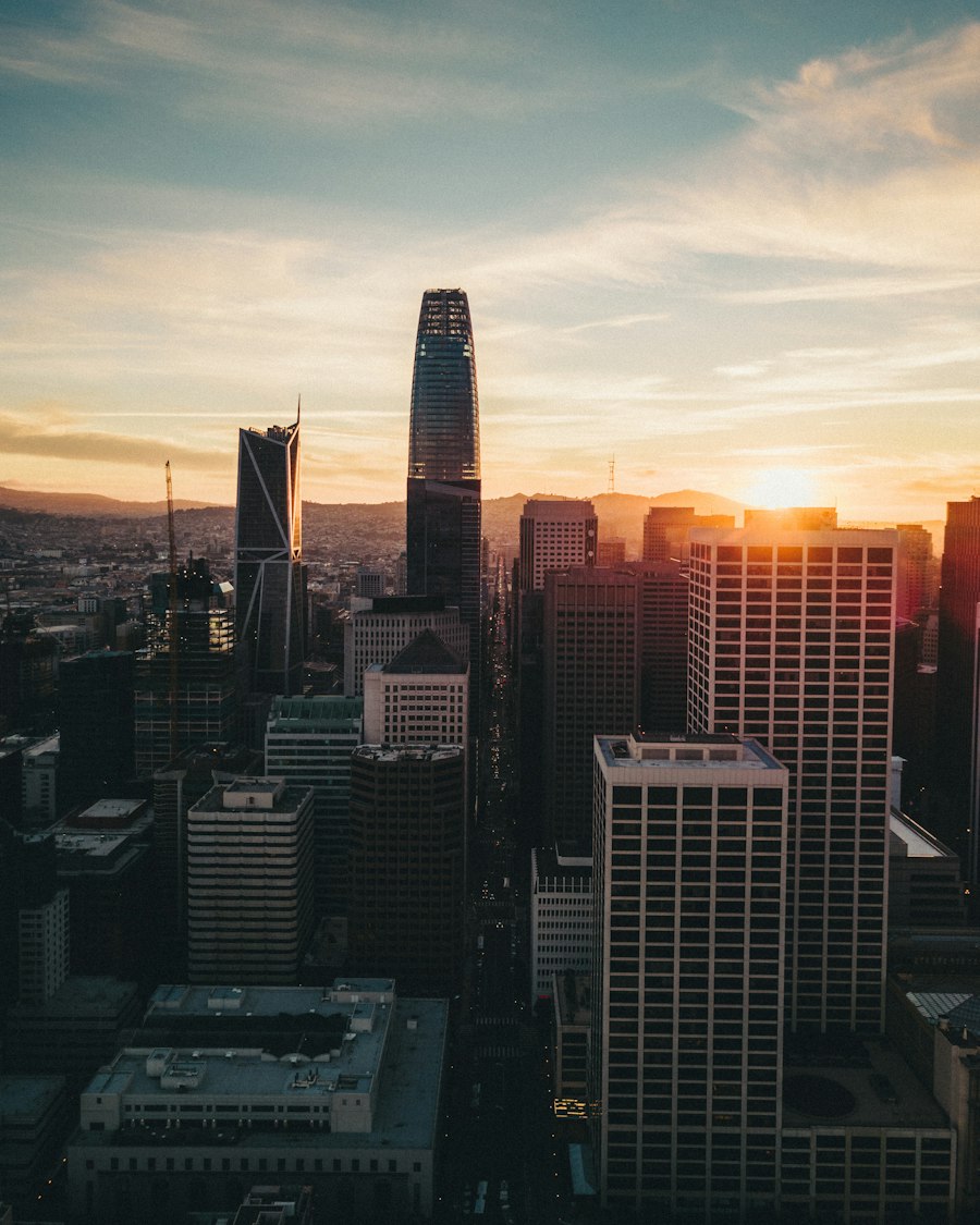
Located 20 minutes from KEF Airport, Reykjanes features steaming fumaroles at Gunnuhver, dramatic coastal cliffs at Reykjanesviti, and mineral-rich geothermal lagoons. Book timed entry 2+ weeks ahead.
#4 on Map
📍 South Coast • Day 2 (128 km from Reykjavík) · 63.62°N, 19.99°W
Follow the footpath behind the 60m cascade (closed in winter ice), then walk 500m north along the cliff base to wade into the hidden cave waterfall of Gljúfrabúi. Wear waterproof shell pants!
#5 on Map
📍 South Coast • Day 2 (155 km from Reykjavík) · 63.53°N, 19.51°W
One of Iceland’s biggest waterfalls with frequent double rainbows on sunny days. Climb the 527 steps to the viewing platform or take the 20-minute walk from Skógar Museum into Kvernufoss gorge.
 #6 on Map
📍 South Coast • Day 2 (187 km from Reykjavík) · 63.40°N, 19.05°W
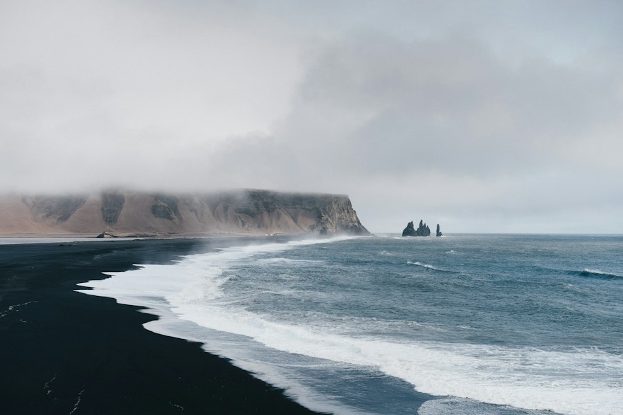
Marvel at hexagonal Hálsanefshellir basalt columns and nesting puffins (May–mid Aug) at Dyrhólaey. Always obey the yellow/red wave warning lights at Reynisfjara and stay well back from the surf.
#7 on Map
📍 Southeast • Day 3 (326 km from Reykjavík) · 64.02°N, 16.97°W
Hike the 5.5 km loop to Svartifoss (the dark basalt-column waterfall that inspired Hallgrímskirkja church) and join a certified 3-hour crampon glacier walk on Falljökull outlet glacier.
#8 on Map
📍 Southeast • Day 3 (380 km from Reykjavík) · 64.05°N, 16.18°W
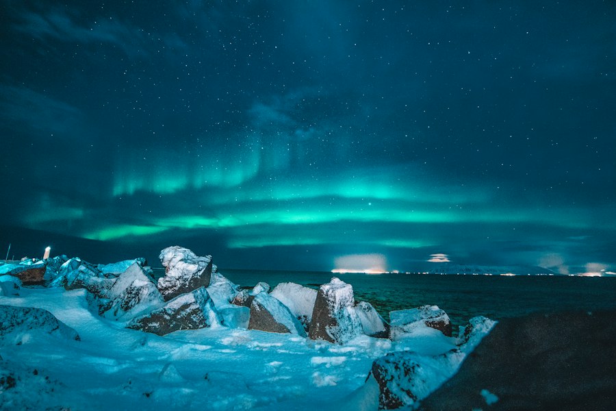
Watch house-sized icebergs calve from Breiðamerkurjökull glacier, drift past curious harbor seals, and wash onto the jet-black volcanic sand of Diamond Beach across the bridge.
 #9 on Map
📍 Eastfjords • Day 4–5 · 65.26°N, 14.01°W
Drive over the dramatic Fjarðarheiði mountain pass past Gufufoss waterfall into the artistic timber village of Seyðisfjörður, and detour into Jökuldalur to hike beside the turquoise river of Stuðlagil Canyon.
 #10 on Map
📍 Diamond Circle • Day 5–6 · 65.81°N, 16.38°W
Feel the ground tremble beside Dettifoss, where up to 500 cubic meters of sediment-rich glacial water thunder 44 meters into Jökulsárgljúfur canyon every second. Take paved Route 862 for smooth access.
#11 on Map
📍 North Iceland • Day 5–6 · 65.64°N, 16.85°W
Explore boiling sulfuric fumaroles at Hverir (Námafjall), lava pillars at Dimmuborgir, pseudocraters at Skútustaðagígar, and Mývatn Nature Baths before stopping at horseshoe-shaped Goðafoss ("Waterfall of the Gods").
#12 on Map
📍 North Iceland • Day 6–7 · 66.04°N, 17.34°W
Sail out on a traditional oak boat or RIB speedboat from Húsavík to spot humpback and blue whales (97% summer sighting rate), soak in Geosea or Akureyri’s Forest Lagoon, and drive the scenic Tröllaskagi peninsula.
#13 on Map
📍 Snæfellsnes Peninsula • Day 5 or Day 8 · 64.92°N, 23.31°W
Photograph arrowhead-shaped Mt. Kirkjufell framed by Kirkjufellsfoss, walk the basalt cliffs between Arnarstapi and Hellnar, spot seals at Ytri Tunga, and visit the black timber church at Búðir.
#14 on Map
📍 Westfjords • 14-Day Itinerary (Days 9–11) · 65.73°N, 23.20°W
Hike past six smaller cascades up to the 100-meter bridal-veil fan of Dynjandi ("The Thunderer"), walk the golden-red sands of Rauðisandur, and watch fearless puffins along the 440m sea cliffs of Látrabjarg.
 #15 on Map
📍 Central Highlands • Summer Only (Mid-June to Sept) · 63.99°N, 19.06°W
Hike through multi-colored rhyolite peaks, steaming sulfur vents, and the Laugahraun obsidian field (Brennisteinsalda or Bláhnúkur loop), then soak in the natural geothermal river. Take F208 North to avoid deep rivers.
#16 on Map
📍 Central Highlands • Summer Only (Mid-June to Sept) · 64.64°N, 19.28°W
Accessible via unbridged-river-free Route 35 (Kjölur) north of Gullfoss. Hveradalir in Kerlingarfjöll features surreal orange rhyolite hills, year-round snowfields, and roaring geothermal steam vents connected by wooden stairs.
Compare 2WD, 4x4 SUVs, and campervans, plus Gravel and Sand & Ash insurance rules.
Open Car Rental Guide →Day-by-day driving blueprints for the Ring Road, South Coast, Golden Circle, and Highlands.
Open Road Trip Planner →Estimate your total Iceland trip budget and check off your seasonal clothing & gear list.
Open Trip Tools →